0% Complete
صفحه اصلی
/
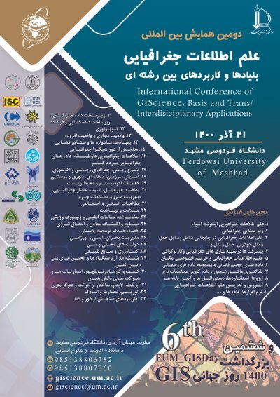
دومین همایش بین المللی علم اطلاعات جغرافیایی: بنیادها و کاربردهای بین رشته ای و ششمین بزرگداشت روز جهانی GIS و هفته آگاهی جغرافیایی
Evaluation of GPM-IMERG-V06 satellite precipitation product performance over Iran
نویسندگان :
Nazanin Nozarpour
1
Emad Mahjoobi
2
Saeed Golian
3
1- دانشگاه صنعتی شاهرود
2- دانشگاه صنعتی شاهرود
3- دانشگاه صنعتی شاهرود
کلمات کلیدی :
Efficiency Factor, GPM_IMERG, Iran, Remote Sensing, Synoptic Stations
چکیده :
Rainfall is an important parameter in monitoring and forecasting meteorological drought; because it is one of the complex and vital elements of the atmosphere and plays an important role in recharging the seas, rivers, and aquifers. Due to the importance of precipitation data in hydrological studies and the challenges of rainfall grid stations, the application of satellite precipitation products in the last decade has been considered by researchers. Accordingly, in this study, the sixth edition of the GPM-IMERG Final Run satellite precipitation product was evaluated and compared with the precipitation data of synoptic stations on a monthly scale between 2008 and 2019 over Iran. For this purpose, 81 synoptic stations were selected and three statistical tests of the correlation coefficient, efficiency factor, and root mean square error were used to evaluate satellite data. The results show a high correlation between this product and ground data in most parts of the country, especially in the eastern regions and the Zagros highlands. Moreover, the error of this product increases in the Caspian coastline and some other rainy situations. On the other hand, the efficiency of this product is very desirable in the eastern and western provinces of the country.
لیست مقالات
لیست مقالات بایگانی شده
بررسی مطلوبیت مکانی شهرهای احداث شده با استفاده از GIS و تکنیک AHP (مطالعهی موردی: دزفول)
داود سعدونی - مهدی عربی - فرهاد حسینعلی
واکاوی طبیعت ار منظر قرآن کریم
عباس رنجبر - حمید رحمتی - هادی اسماعیل زاده
استفاده از تداخل سنجی راداری دادههای ماهواره سنتینل-1 درارزیابی فرونشست زمین در دشت کاشمر
امین مسلم زاده - هادی معماریان خلیل آباد - سید محمد تاجبخش فخرآبادی - مرتضی اکبری
بررسی اثرات تغییرات کاربری اراضی بر فرسایش حوضه آبریز سقز چای بعد از احداث سد شهید کاظمی (با استفاده از مدل ARC SWAT ،سالهای 2000 تا 2016)
فاطمه رحمتی - کاظم طاهری نژاد
ارزیابی و مکانیابی پارک های محلی با تاکید بر اصول توسعه پایدار با استفاده از GIS ( نمونه موردی : محله نوغان شهر مشهد)
فاطمه سادات قاسم زاده
پهنهبندی خطر آتشسوزی در جنگل ارس هزار مسجد با استفاده از GIS و کاربرد فرآیند AHP
امیر انصاری - محمد فرزام - مرتضی اکبری - محمود اعظمی راد - سعید جاهدی پور
بررسی میزان رطوبت خاک در پوشش های مختلف اراضی با استفاده از سنجش از دوردر حاشیه کویر ابرکوه
فاطمه السادات جلیلی فراشاه - غلامعلی مظفری - حمیدرضا غفاریان مالمیری
تجزیه و تحلیل میزان شکست پذیری امنیت جوامع بین الملل متاثر از بحران تغییرات اقلیمی از منظر حقوق بین الملل محیط زیست
شباب جهانبین - قدرت عزیزی
حفظ محیط زیست و احترام به جنبندگان در قرآن
هادی اسماعیل زاده - حمید رحمتی
اهمیت منابع طبیعی(آب و خاک) از منظر قرآن کریم
هادی اسماعیل زاده - محبوبه نیکبخت
بیشتر
ثمین همایش، سامانه مدیریت کنفرانس ها و جشنواره ها - نگارش 41.7.6